Introduction to ipyleaflet#
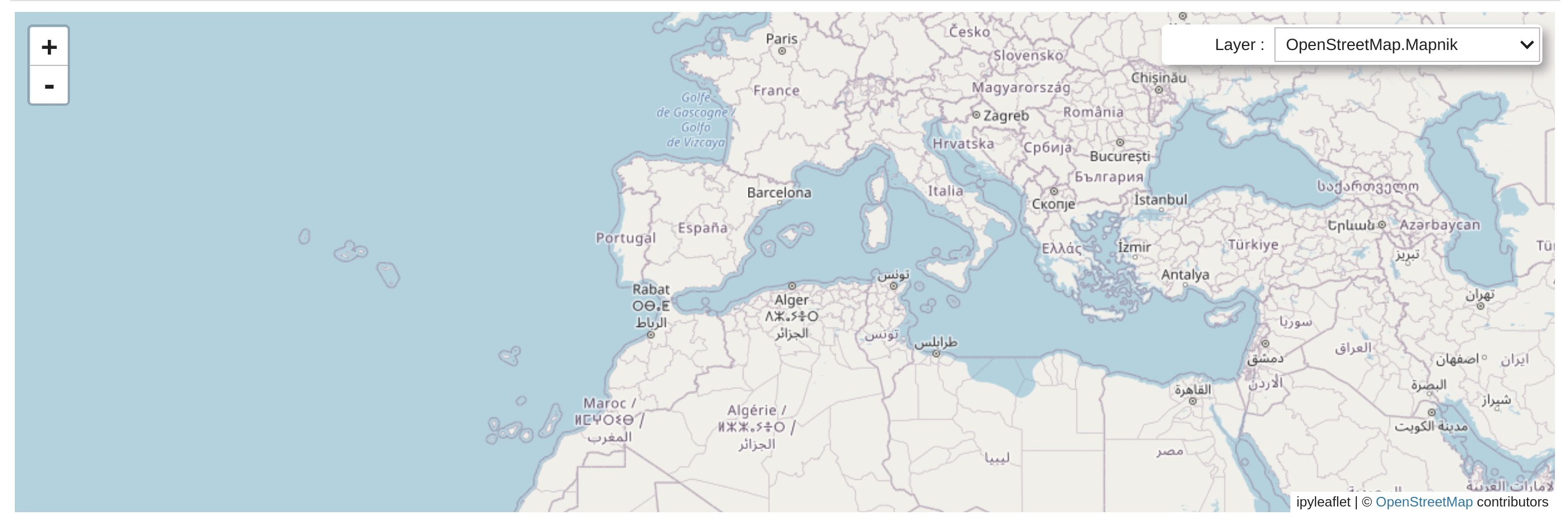
Ipyleaflet is a Jupyter widget for Leaflet.js , enabling interactive maps in the Jupyter notebook. Every object in ipyleaflet (including the Map, TileLayers, Layers, Controls, etc.) is interactive: you can dynamically update attributes from Python or from the browser.
Try it online#
You can try ipyleaflet below, or open many other live examples in a new browser tab with : JupyterLite or RetroLite.
Try ipyleaflet!
Table of Contents#
- Installation
- Usage
- Map and basemaps
- Layers
- Tile Layer
- Local Tile Layer
- Magnifying Glass
- Marker
- Icon
- AwesomeIcon
- DivIcon
- Popup
- WMS Layer
- Image overlay and Video overlay
- Image Service
- AntPath
- Polyline
- Polygon/Multipolygon
- Rectangle
- Circle
- Circle Marker
- Marker Cluster
- Heatmap
- Velocity
- Layer Group
- GeoJSON
- GeoData
- Choropleth
- Vector Tile Layer
- WKTLayer
- Layer-Like Objects
- Controls
- API Reference
AntPathAttributionControlAwesomeIconChoroplethCircleCircleMarkerColormapControlControlControlExceptionDivIconDrawControlDrawControlBaseDrawControlCompatibilityFeatureGroupFullScreenControlGeoDataGeoJSONGeomanDrawControlHeatmapIconImageOverlayImageServiceInteractMixinLayerLayerExceptionLayerGroupLayersControlLegendControlLocalTileLayerMagnifyingGlassMapMapStyleMarkerMarkerClusterMeasureControlPMTilesLayerPaneExceptionPathPolygonPolylinePopupRasterLayerRectangleScaleControlSearchControlSplitMapControlTileLayerUILayerVectorLayerVectorTileLayerVideoOverlayWKTLayerWMSLayerWidgetControlZoomControlbasemap_to_tiles()
- Related projects
- Releases